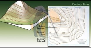
Contour Mapping – Characteristics, Methods & Uses. The Contour are the lines joining the points of equal elevation on the surface of earth or we can say that the contour is a line in which the ground surface is intersected by the level surface obtained by joining points of the …
Read More »How to calculate the Quantity of Earthwork in the Road
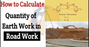
How to calculate the Quantity of Earthwork in Road. In this Article u will learn step-by-step guidelines for measuring the QTY of earthwork (soil) in the Road, railway & the canal work with the help of mean area method. For explanation, the solution is given in the following example. Example …
Read More »How to calculate The gradient, run and rise in civil construction
How to Calculate Gradient, Run and Rise in Civil Construction. In this Article i will calculate the slope, run & rise in the three different drawings as shown below. 1 – Slope calculation. Given Data. Run = 15m. Rise = 0.5m. Slope = [run ÷ rise] = [15m. ÷ 0.5m]. …
Read More »What is Alignment of Road
What is Alignment of The Road ? The position occupied by the center line of the Road in plan is called alignment of road. The new road should be aligned very carefully as the cost of the Construction, maintenance, safety & ease in travel etc. depends much upon the alignment …
Read More » Surveying & Architects A unique platform of Civil Engineering


