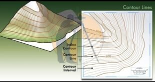
Contour Mapping – Characteristics, Methods & Uses. The Contour are the lines joining the points of equal elevation on the surface of earth or we can say that the contour is a line in which the ground surface is intersected by the level surface obtained by joining points of the …
Read More »Rise and fall method with Examples
Rise and fall method with Examples. In This Article i will discuss About the topic of Rise and Fall Method with Complete Detail. Rise & fall is the method of Land Surveying to solve the levelling to find out difference in elevation & elevation of 2 points. In this method …
Read More »House Plan 30 x 50
Different House Plans 30 x 50 House Plan 30 x 50 / House Plan With Car Parking 30×50 / 30*50 House Plan With Garden | 30×50 House Plan three bathrooms three Bedrooms and three kitchen. 30×50 House Plan With the Car Parking To build the house or a house, 1st, the map of the …
Read More »land Surveyor Responsibilities
land Surveyor Responsibilities The Land Surveyor is the person who is supposed to make precise measurements that will identify the boundary. Surveyors help in providing unique contours on the surface of the earth which will let the Engineers make maps and construction projects. The following are the Duties of a …
Read More » Surveying & Architects A unique platform of Civil Engineering


