 Surveying & Architects A unique platform of Civil Engineering
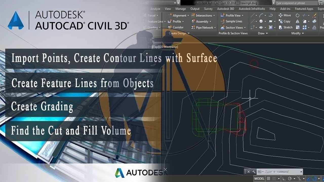
How to Import Points Create Surface and Calculate Volume In AutoCAD Civil 3D.
How to Import Points Create Surface and Calculate Volume In AutoCAD Civil 3D.
AutoCAD Civil 3D is a specialized software program developed by Autodesk for Civil Engineering design and documentation. It is widely used in the industry for various tasks related to land development, transportation, and environmental projects. Here’s an overview of AutoCAD Civil 3D.
- Design and Drafting Tools: AutoCAD Civil 3D offers a wide range of design and drafting tools specifically tailored to civil engineering projects. These tools enable engineers to create detailed 2D and 3D drawings, including plans, profiles, cross-sections, and alignments.
- Model-Based Design: One of the key features of Civil 3D is its support for model-based design. Engineers can create intelligent 3D models of their projects, which contain real-world data and allow for dynamic updates as designs evolve. This approach enhances collaboration and helps streamline the design process.
- Surface Modeling: Civil 3D provides powerful tools for creating and analyzing terrain surfaces, such as existing ground surfaces, proposed grading, and road alignments. Engineers can generate contours, calculate volumes, and perform earthwork analysis directly within the software.
- Alignment and Profile Design: The software offers tools for creating and editing horizontal and vertical alignments, as well as profiles for roads, railroads, and other linear features. Engineers can easily design curves, spirals, and super elevations to meet project requirements.
- Corridor Modeling: Civil 3D includes corridor modeling functionality, which allows engineers to design complex transportation corridors, such as highways and streets, with ease. Users can define corridor assemblies, including road surfaces, shoulders, and medians, and generate dynamic cross-sections along the corridor.
- Pipe and Pressure Network Design: Engineers can use Civil 3D to design and analyze pipe networks for water, sewer, and stormwater systems. The software provides tools for creating pipes, structures, and appurtenances, as well as performing hydraulic analysis and sizing calculations.
- Documentation and Visualization: Civil 3D facilitates the creation of construction documentation, including plan sheets, sections, and quantity takeoffs. Engineers can annotate drawings, generate reports, and produce visually compelling renderings and animations to communicate design intent effectively.
- Integration with Other Autodesk Products: Civil 3D seamlessly integrates with other Autodesk software products, such as AutoCAD, Revit, and Infra Works, allowing for interoperability between different disciplines and stages of the design process.
Learn More
Overall, AutoCAD Civil 3D is a comprehensive solution for Civil Engineers, providing a robust set of tools for design, analysis, and documentation across a wide range of civil engineering projects.
How to Import Points Create Surface and Calculate Volume In AutoCAD Civil 3D
Learn More
-
How to calculate The gradient, run and rise in civil construction
-
How To Calculate The Asphalt Quantity For Road Work
-
Types Of Scales In The Surveying.

3 comments
Pingback: Types Of Scales In Surveying - Surveying & Architects
Pingback: Calculate the weight of different types of steel - Surveying & Architects
Pingback: Calculate The Staircase Shuttering Quantity - Surveying & Architects