 Surveying & Architects A unique platform of Civil Engineering
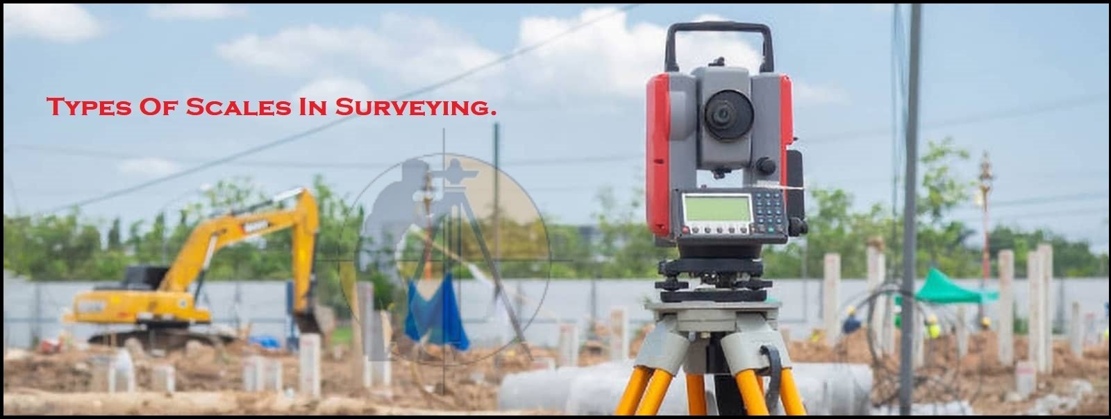
Types Of Scales In The Surveying.
Since the Surveyed area is the very large, it is never possible to make full size of drawing. For convenience it is generally necessary to draw them to the reduced size, this operation is called ( drawing to scale).
There are 2 types of scales used in Surveying.
1 – Numerical scale.
2 – Graphical scale.
A – Numerical Scale.
Numerical Scale is also further classified into 2 general types.
1 – Engineer’s Scale.
2 – Fraction Scale.
1 – Engineer’s Scale.
In an Engineer’s scale, the scale of the map or drawing is the proportion which every distance on the map or drawing bears to corresponding distance on the ground.
Example: One cm = Ten m
This means, One cm on the drawing represents Ten m on the ground, the scale of the map is 10 m to One cm.
2 – Fraction Scale.
The scale is also expressed by means of the vulgar fraction whose numerator is invariable unity. The fraction is called (Representative Fraction) or (RF). It is therefore, the ratio of the map distance to the corresponding ground distance. In forming the representative fraction both numerator & denominator must be reduced to same denomination.
For example, if the scale is Ten m to 1 cm, the RF of the scale is One cm/10x100cm = 1/1000
Learn More
-
Transition Curve In Highways – Purpose-Requirements-Example
-
Super-elevation And Design Formula | Advantages | Highway Engineering
-
How to Import Points Create Surface and Calculate Volume In AutoCAD Civil 3D
B – Graphical Scale.
On the graphical scale, the units of the measurement should always be stated.
Characteristics Of the Good Scale are.
- It should read to the greatest accuracy required.
- It should be the convenient to use.
Other Post
-
What is Alignment Of Road.
-
linear Measurements In the Surveying by direct Method
-
What is the benefits of Drawbacks Of total Station
One comment
Pingback: How to Import Points Create Surface and Calculate Volume In AutoCAD Civil3D - Surveying & Architects