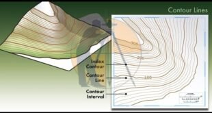
Contour Mapping – Characteristics, Methods & Uses. The Contour are the lines joining the points of equal elevation on the surface of earth or we can say that the contour is a line in which the ground surface is intersected by the level surface obtained by joining points of the …
Read More »Types Of Curves In Surveying Work
Types Of Curves In Surveying Work. What Is The Curve? The Curves are generally the horizontal &/or vertical bends that are usually used on highways & the railways when it is necessary to change the alignment of the route. when 2 points are located at the different levels, it becomes …
Read More »Why Camber Is Provided In Road
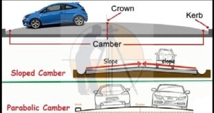
Types Of The Road Camber – Advantages & Methods Of Providing Camber What Is The Camber ? Camber is the slope provided to Road Surface in the transverse direction to drain off the rainwater from the road surface. It is also known as cross slope of the road. In this article, …
Read More »Transition Curve In Highways – Purpose-Requirements-Example
Transition Curve In Highways – Purpose-Requirements-Example Transition Curve Transition curve as the name suggests, is usually a horizontal curve in plan provided to allow transition from a straight alignment to a circular curve gradually. In other words, it is a curve which connects a with infinite radius and radius R. …
Read More »Super-elevation And Design Formula | Advantages | Highway Engineering
Super-elevation And Design Formula | Advantages | Highway Engineering Super-elevation or Banking of Road:- Advantages of providing Super elevation:- Derivation of Super Elevation : Super Elevation formula:- Design procedure of Super-elevation / Banking of road:- Step – 1:- Step – 2:- Step – 3:- Step – 4:- Super-elevation or …
Read More »Calculation Of Horizontal Curve
Calculation Of Horizontal Curve Let’s see how to Calculate horizontal Curve Let’s Come To Join Us we will provide Useful Information & we hope people get benefits from our page, we need your support to spreading knowledge to newcomers … Our Team trying to best provide Knowledge according to the …
Read More »Calculation Of Super Elevation
Land Survey Basic Information Super Elevation: Superelevation is the banking of a roadway along a level bend so drivers can securely and serenely move the bend at sensible velocities. A more extreme super-elevation rate is required as paces increment or level bends become tighter. Super Elevation is given to …
Read More » Surveying & Architects A unique platform of Civil Engineering


